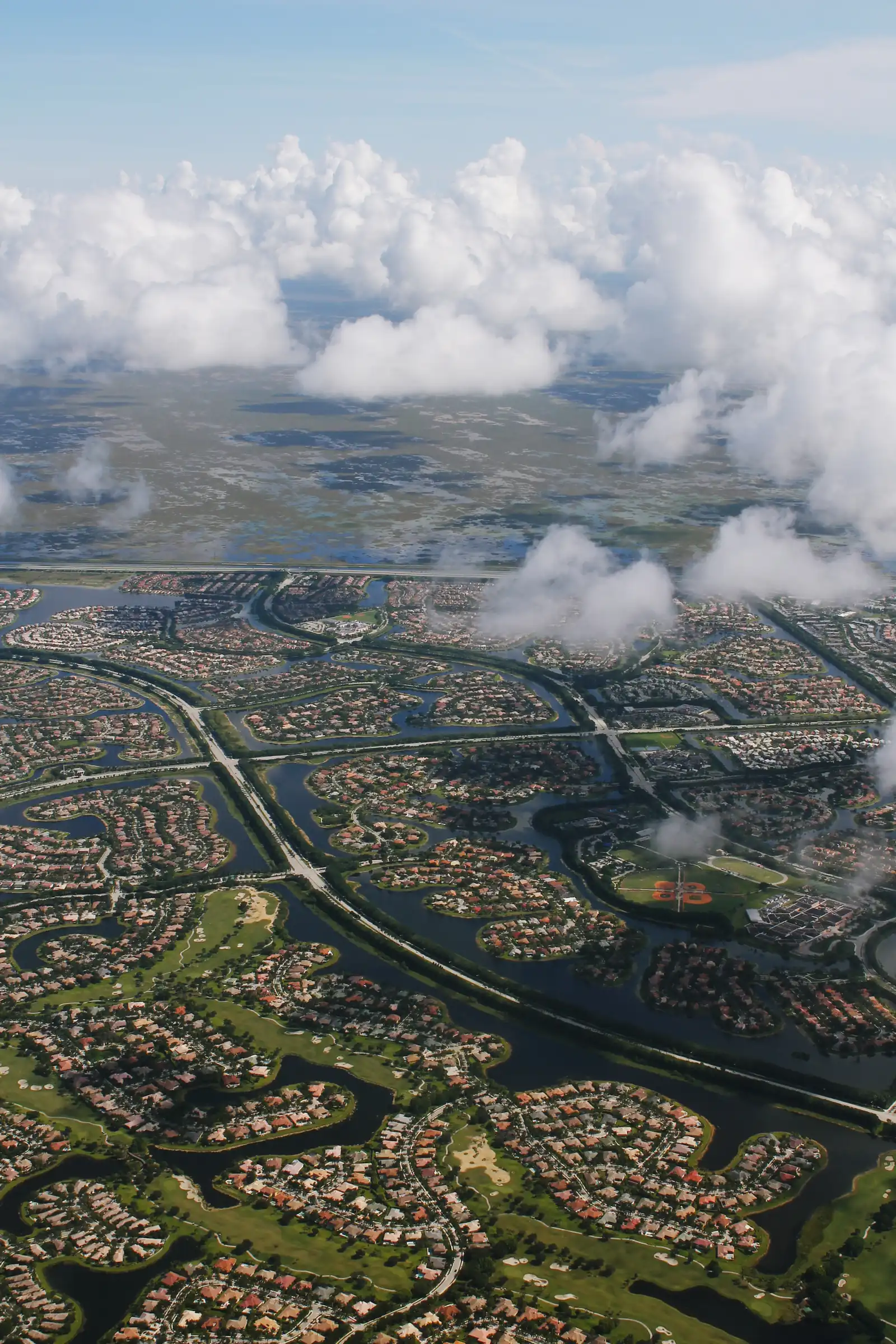
Weston's seven residential areas, from Bonaventure and Savanna to Weston Hills and Windmill Ranch, with ZIP codes, zoned high schools and Zillow home values.
Last checked Oct. 10, 2026. Sources: the City of Weston’s sector, ZIP code and homeowners association map layers and its geography and history pages, Broward County’s 2025-26 school boundaries, the Florida Department of Education’s 2026 school grades, the Zillow Home Value Index, the Census Bureau’s QuickFacts and OpenStreetMap.
Weston is a planned city of about 68,800 people, according to the Census Bureau’s 2020-2024 American Community Survey, most of it built since 1984 on land Arvida assembled. Its geography page puts it at about 27 square miles, bounded by I-75 and State Road 84 on the north, I-75 (and Weston Road in places) on the east, Griffin Road on the south and the L-35 levee on the west. The city says most homes sit in private communities governed by a homeowners association, and it counts 1,877 acres of maintained lakes and canals. Weston Town Center, near I-75 and Royal Palm Boulevard, is its shopping and dining district.
What this means for you
- Two high schools: most addresses are zoned for Cypress Bay High; Bonaventure and the Tequesta Lakes area go to Western High in Davie. School zones do not follow neighborhood or city lines, so check the address in Find My School.
- Four ZIP codes, and two of them (33331, 33332) are shared with Southwest Ranches.
- Four I-75 exits serve the city directly: Exit 13 (Griffin Road), Exit 15 (Royal Palm Boulevard), Exit 21 (Indian Trace) and Exit 22 (Glades Parkway), with Exit 19 for I-595 and the Sawgrass Expressway.
How Weston is laid out
The city’s geography page says Weston’s land is made up of two special districts: the Indian Trace Development District, which covers most of the city, and the Bonaventure Development District in the northeast. The city’s own maps divide the land further into 21 numbered sectors, and its homeowners association map names more than 100 residential associations inside them. Most are communities of a few dozen to a few hundred acres, such as Savanna or The Ridges; in Bonaventure, many are single condominium buildings.
We grouped the residential sectors into seven areas, each named for the communities the city’s map shows in it. Sectors 14 and 15 hold the Weston Park of Commerce, and sectors 11C and 18 have no homeowners association on the city’s map; sector 18, on the western edge, takes in the conservation land along U.S. 27 that the city annexed in 1999, according to its history page. They are not on the list.
ZIP codes. The city’s ZIP code map shows 33326 across the east and center, 33327 in the north and northwest, 33331 in the southeast and 33332 in the southwest. The Census Bureau’s ZIP code boundaries count 33326, 33331 and 33332 as having at least a tenth of their land in the city.
Schools. Broward County Public Schools, not the city, runs the schools, and its zones cross neighborhood lines. Every district school in Weston earned an A in 2026; see our Weston schools guide.
The areas at a glance
| Area | ZIP code | Zoned high school | Typical home value in its ZIP, August 2026 |
|---|---|---|---|
| Bonaventure | 33326 | Western High | $549,950 |
| Savanna | 33327 | Cypress Bay High | $841,050 |
| Weston Lakes and The Falls | 33326, 33327 | Cypress Bay High | $549,950 (33326), $841,050 (33327) |
| Town Center and the Islands | 33326 | Cypress Bay High | $549,950 |
| Weston Hills and southwest Weston | 33327, 33332 | Cypress Bay High | $841,050 (33327), $1,022,858 (33332) |
| Country Isles and Tequesta | 33326 | Cypress Bay High; Western High for Tequesta Lakes | $549,950 |
| Windmill Ranch, The Ridges and Emerald Estates | 33331 | Cypress Bay High | $848,482 |
High schools are from Broward County’s 2025-26 boundary map. Home values are the Zillow Home Value Index by ZIP code, a modeled value for a typical home, not a sale price. Each ZIP covers more than one area, and ZIP 33326 holds many condominiums, which pull its figure down. Weston’s citywide figure was $719,191, down 1.7% in a year; see Weston home prices.
Bonaventure
The northeast corner, its own special district, and the one area of Weston developed apart from Arvida’s plan; residents voted to join Weston in 1997. Condominiums and single-family homes around a golf course, with Bonaventure Park and the Weston Racquet Club. Read the Bonaventure guide.
Savanna
The northwest, built around Weston Regional Park and the YMCA, run by the city’s largest single association, the Savanna Maintenance Association. Read the Savanna guide.
Weston Lakes and The Falls
The lake communities on both sides of the north end of Indian Trace, next to I-75 Exit 21, with Eagle Point Park and the Weston Lakes Plaza Publix. Read the Weston Lakes and The Falls guide.
Town Center and the Islands
The middle of the city along Indian Trace: the Springs and the Islands communities, condominiums near Town Center, and three parks, including the Tequesta Trace skate park. Read the Town Center and the Islands guide.
Weston Hills and southwest Weston
Weston Hills Country Club and, to the south, Isles at Weston, Windmill Reserve and Windmill Lake Estates, near Cypress Bay High, Falcon Cove Middle and Vista Park. Read the Weston Hills guide.
Country Isles and Tequesta
One of the two places Weston’s first homes were finished, in 1984, east of Town Center by I-75 Exit 15, with Peace Mound Park’s fishing dock. Read the Country Isles guide.
Windmill Ranch, The Ridges and Emerald Estates
The southeast, home to City Hall and Everglades Elementary, all in ZIP 33331, with Weston Commons at Weston Road and Griffin Road. Read the Windmill Ranch, The Ridges and Emerald Estates guide.
Compare Weston with its neighbors
Taxes, schools, home values and services in Weston, Southwest Ranches, Pembroke Pines and Davie are side by side in Weston vs Southwest Ranches vs Pembroke Pines vs Davie.
Map credit
Area boundaries follow the City of Weston’s sector and homeowners association map layers on its GIS server. Place names are also checked against OpenStreetMap, © OpenStreetMap contributors.
How we built this
We did not draw our own neighborhood lines. The areas come from the City of Weston’s published map layers: its 21 sectors and its homeowners association map, which lists each registered association and the subdivision it governs. We grouped neighboring residential sectors that share schools and roads, and named each group for the communities the city’s map shows in it. We left out any name we could not place on the city’s map or OpenStreetMap. School zones come from Broward County’s 2025-26 boundary layer, ZIP codes from the city’s ZIP code layer, distances from the OpenStreetMap road network and exit numbers from the Florida Department of Transportation’s interchange inventory. We do not rank areas. Questions or corrections: see contact us.
Related: moving to Weston, property taxes and getting around Weston.
Frequently asked questions
What are the neighborhoods in Weston, Florida?
The city maps Weston in numbered sectors, and most homes sit in private communities with their own associations. The main residential areas are Bonaventure, Savanna, Weston Lakes and The Falls, the Town Center and the Islands, Weston Hills with Isles at Weston and Windmill Reserve, Country Isles and Tequesta, and Windmill Ranch, The Ridges and Emerald Estates.
What ZIP codes are in Weston, FL?
The city’s ZIP code map shows four: 33326 in the east and center, 33327 in the north and northwest, 33331 in the southeast and 33332 in the southwest. ZIPs 33331 and 33332 also cover part of Southwest Ranches.
What high school is Weston zoned for?
Most of Weston is zoned for Cypress Bay High, 18600 Vista Park Blvd. Bonaventure and the Tequesta Lakes area are zoned for Western High in Davie. Both earned an A in the state’s 2026 grades; check an address in the district’s Find My School tool.
Which part of Weston has the highest home values?
By ZIP code, Zillow’s typical value in August 2026 was $1,022,858 in 33332, $848,482 in 33331, $841,050 in 33327 and $549,950 in 33326. ZIPs 33331 and 33332 include part of Southwest Ranches, and 33326 has many condominiums.
Have your say