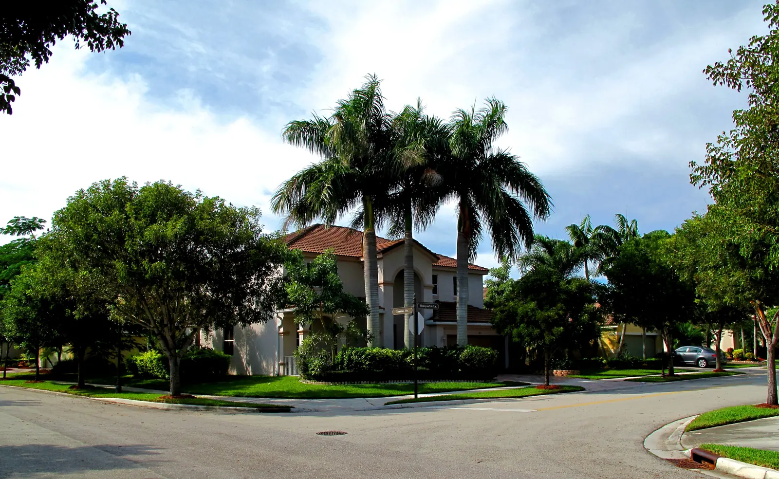
Savanna covers Weston's northwest corner around Weston Regional Park, in ZIP 33327, zoned for Cypress Bay High. Typical ZIP value: $841,050 in August 2026.
Last checked Oct. 10, 2026. Sources: the City of Weston’s sector, ZIP code and homeowners association map layers and parks directory, Broward County’s 2025-26 school boundaries, the Florida Department of Education’s 2026 school grades, the Zillow Home Value Index and OpenStreetMap. Part of our Weston neighborhoods guide.
Savanna is the single-family area in Weston’s northwest, around the city’s largest park. The city’s homeowners association map gives the Savanna Maintenance Association a territory of about 690 acres, the biggest single association in the city, with two smaller ones beside it: the Hammocks at Savanna and the Villages of San Mateo. Weston Regional Park, the YMCA and a Publix-anchored shopping center on Glades Circle are at its edges.
What this means for you
- Zoned high school: Cypress Bay High (graded A for 2026). Confirm any address in Find My School.
- Home value: the typical home in ZIP 33327 was worth $841,050 in August 2026, Zillow says.
- Nearest interstate exits: I-75 Exit 21 (Indian Trace) and Exit 22 (Glades Parkway), each a little over a mile north.
Where it is
On the city’s sector map, Savanna and its two neighbors fill sectors 1 and 2, the northwest of the developed city, west of Saddle Club Road. West of them is the conservation land along U.S. 27 that the city annexed in 1999, according to its history page, out to the L-35 levee, the western boundary on its geography page. Saddle Club Road, Glades Parkway and Arvida Parkway are the main roads. The city’s ZIP code layer puts almost all of it in ZIP code 33327, with a sliver at the south end in 33332.
Schools
Broward County Public Schools runs the schools. On Broward County’s 2025-26 boundary map, the area is zoned for Falcon Cove Middle and Cypress Bay High. The elementary zone is split: most of the southern sector (Savanna itself) is in the Manatee Bay zone, and most of the northern sector, with the Hammocks and San Mateo, is in the Gator Run zone. Check an address in the district’s Find My School tool.
| School | Address | 2026 state grade |
|---|---|---|
| Gator Run Elementary | 1101 Glades Parkway | A |
| Manatee Bay Elementary | 19200 Manatee Isles Drive | A |
| Falcon Cove Middle | 4251 Bonaventure Blvd. | A |
| Cypress Bay High | 18600 Vista Park Blvd. | A |
Grades are the Florida Department of Education’s 2026 school grades. The charter school Imagine Weston is at 2500 Glades Circle, the city says; charters enroll through their own applications. More in our Weston schools guide.
Home values
The Zillow Home Value Index put the typical home in ZIP 33327 at $841,050 in August 2026, down 0.4% from $844,840 in August 2025. ZIP 33327 also covers The Falls and the north side of Weston Hills, so it is not a Savanna-only figure. Citywide, Weston’s typical value was $719,191, down 1.7%. The index is a modeled value for a typical home, not a sale price. More in our Weston home prices guide.
Parks
- Weston Regional Park, 20200 Saddle Club Road: the city’s event stage, ball fields, pickleball, beach tennis, roller hockey rinks, an exercise path and a shaded playground. Open 5 a.m. to 11 p.m.; no dogs.
- Gator Run Park, 1101 Park Blvd.: a shaded playground, shelters and a lighted walkway, with a bike repair station along Glades Parkway.
- Weston YMCA Family Center, 20201 Saddle Club Road, 954-424-9622.
From the city’s parks directory; see our parks and trails guide for hours and rules.
Getting around
- Interstate: I-75 Exit 21 (Indian Trace) and Exit 22 (Glades Parkway) are each about 1.3 miles north of central Savanna in a straight line, by the Florida Department of Transportation’s interchange inventory; exit names are from OpenStreetMap’s ramp signs. Both lead to I-75 and State Road 84.
- Downtown Weston: about 3.5 miles by road to Weston Town Center, measured on the OpenStreetMap road network. That is a distance, not a drive time.
- Airport: about 20 miles by road to Fort Lauderdale-Hollywood International.
- Bus: the one Broward County Transit route the city lists in Weston, Route 23, runs on Weston Road on the far east side of the city. Use BCT’s trip planner.
HOAs
The city’s association map lists three associations here: the Savanna Maintenance Association, the Hammocks at Savanna Maintenance Association and the Villages of San Mateo Maintenance Association. The city’s homeowners associations page requires every association to register with the City Clerk each year, and says that in private communities the association, not the city, maintains the roads, common areas and landscaping.
Groceries and everyday stores
Publix, 2465 Glades Circle, with a Publix pharmacy, is the supermarket on OpenStreetMap at the north end of the area.
Related: Weston neighborhoods, walking and biking trails and getting around Weston.
Frequently asked questions
Where is Savanna in Weston?
In the northwest of the city, in sectors 1 and 2 of the city’s sector map, west of Saddle Club Road and around Weston Regional Park. It is in ZIP code 33327.
What schools is Savanna zoned for?
Falcon Cove Middle and Cypress Bay High, on Broward County’s 2025-26 boundary map. Most of the southern sector is zoned for Manatee Bay Elementary and most of the northern sector for Gator Run Elementary. All four earned an A in the state’s 2026 grades.
What park is in Savanna, Weston?
Weston Regional Park, 20200 Saddle Club Road, the city’s largest park, sits at its edge, and Gator Run Park is at 1101 Park Blvd. The Weston YMCA Family Center is at 20201 Saddle Club Road.
Is Savanna a good place to live?
On the facts: it is a single-family area run by the Savanna Maintenance Association, next to Weston Regional Park, zoned for A-rated schools. The typical home value in ZIP 33327 was $841,050 in August 2026, according to Zillow.
Have your say